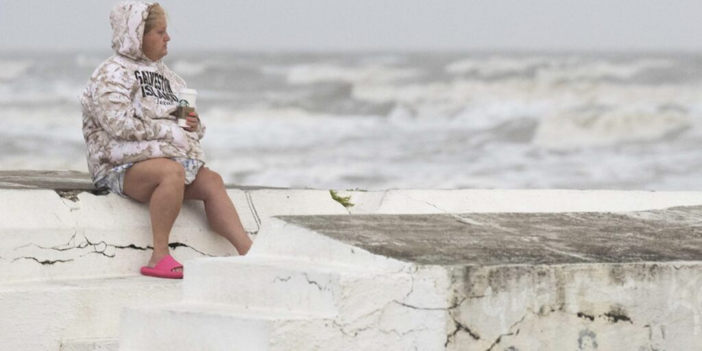
Tropical Storm Alberto formed in the southwestern Gulf of Mexico on Wednesday, the first named storm in what is expected to be a busy hurricane season.
Alberto is expected to make landfall in northern Mexico on Thursday, bringing strong winds, heavy rainfall and some flooding to the Texas and Mexican coasts.
“As always, heavy rainfall and flooding are the most significant concerns in tropical storms,” said Michael Brennan, director of the National Oceanic and Atmospheric Administration’s National Hurricane Center.
Alberto is located 185 miles (approximately 300 kilometers) east of Tampico, Mexico, and 295 miles (approximately 480 kilometers) south-southeast of Brownsville, Texas. Maximum sustained winds were 40 mph (65 km/h), according to the National Hurricane Center in Miami. A tropical storm is defined as sustained winds between 39 and 73 mph (62 and 117 km/h), above which a system becomes a hurricane.
Brennan said winds could reach 45 mph (72 kph) to 50 mph (80 kph) before the storm makes landfall.
Brennan said 5 inches (13 centimeters) to 10 inches (25 centimeters) of rain are expected along the Texas coast, with individual areas likely to see even higher rainfall totals. He said some higher areas of Mexico could see up to 20 inches (50 centimeters) of rain, which could lead to mudslides and flash floods, particularly in the states of Tamaulipas, Coahuila and Nuevo León. state.
At the Miramar Hotel in Tampico, Mexico, near where Alberto was expected to come ashore, front desk clerk Diana Flores said the wind was strong but not strong and the rain had not yet started. “There were people in the restaurants and on the beach,” Flores said earlier Wednesday.
Overnight, outer rainbands appeared in parts of Tamaulipas state in the northeastern corner of Mexico.
The storm was moving westward at 9 mph (15 km/h). Tropical storm warnings are in effect from the Texas coast south of San Luis Pass to the mouth of the Rio Grande River and from the northeast coast of Mexico south of the mouth of the Rio Grande River to Tecolutla.
“Once the center moves inland, it is expected to weaken rapidly and Alberto will likely dissipate over Mexico on Thursday,” the center said.
The National Weather Service said the main danger along the south Texas coast is flooding from excess rainfall. On Wednesday, the National Weather Service said there was a “high likelihood” of flash flooding along the southern Texas coast. A tornado or waterspout is possible.
NOAA predicts that the hurricane season, which begins June 1 and lasts through November 30, is likely to be well above average, with 17 to 25 named storms. As many as 13 hurricanes and four major hurricanes are expected.
The Atlantic hurricane season produces an average of 14 named storms, of which 7 are hurricanes and 3 are major hurricanes.
Brennan said the average time for the first named system in the Atlantic is June 20, so Alberto is “pretty much on schedule.”
An unnamed storm in early June dumped more than 20 inches (50 centimeters) of rain on parts of South Florida, stranding motorists on flooded streets and sending water into some low-lying homes. .
Brennan said the storm will produce dangerous rip currents and drivers should be aware of road closures and turn around if they see roads covered in water.
“People underestimate the power of water, and they sometimes don’t always take rainfall and the threats that come with it seriously, especially if you’re driving in an area and you see water covering the road, you don’t want to drive in,” Bu said. Lennan said. “You don’t know how deep the water is. Roads can be washed out. It only takes a few inches of water to move your car.

